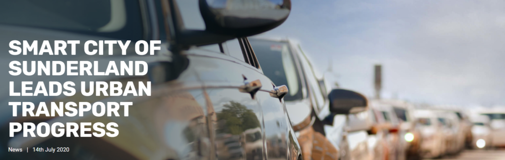

Smart city uses technology to reduce economic costs of congestion, improve air quality and road safety.
Challenge
Aligned to the Department for Transport’s national initiative intended to help “solve local transport issues”, Sunderland City Council hopes the use of technology can help reduce costs to the economy resulting from congestion – as well as refining air quality and improving road safety for drivers, cyclists and pedestrians – by utilising data to manage and predict traffic flow and reduce rush hour traffic.
Solution & Benefits
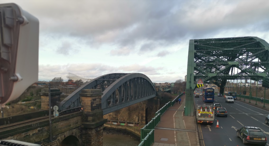
As a growing smart, digitally-equipped city, Sunderland’s expert team of urban transport specialists are using digital technologies to predict the city’s road use for years to come. A traffic mapping project, a joint initiative funded by Sunderland City Council in partnership with KBR and VivaCity, has built a system where design principles and intelligent use of the technology can assist decision making, consider the needs of multiple road users and the environment, whilst simultaneously protecting individuals’ privacy by not gathering any personal data.
The innovative city centre project is gaining insights into road usage and the movement of vehicles to enhance future plans, inform accurate traffic predictions and minimise congestion. All underpinned by an eco-conscious drive to help the environment and lessen the damaging effects of congestion and inefficient road use.
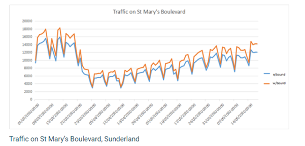
Data from VivaCity sensors installed at strategic locations in the city are being used to assist decision making and are already delivering immediate insights and improved intelligence around the traffic flow in the city centre, including
- The ability to track vehicle times between junctions and see when there are delays, traffic build ups, or the impact of temporary road works.
- Observe vehicle movements and clearly differentiate the different types of vehicles using the road at any given time, including private cars vs public transport and commercial vehicles.
- Monitor the use of public transport as well as other non-vehicular road users such as cyclists and pedestrians.
This traffic mapping and prediction is playing an important role in traffic forecasting, helping to optimise route planning and providing accurate estimates of road usage in the city.
Sunderland City Council are also are leveraging the data in response to the pandemic to compare day by day 24-hour traffic flows and identify trends, such as the rise and fall of certain vehicle types.
“The sensor devices are used to capture, classify, and track pedestrian, cyclist, and vehicular traffic, all whilst maintaining the anonymity of highway users. With the ability to break down into timeslots as small as five minutes, we can see how peak demand has changed as people’s work habits continue to adjust and they shift modes of transport – for example, we have seen an increase in cycling in the city.” Mark Jackson, Assistant Director of Infrastructure, Planning and Transportation, Sunderland Council
You can read more about this this project, as part of Sunderland’s Smart City programme here.