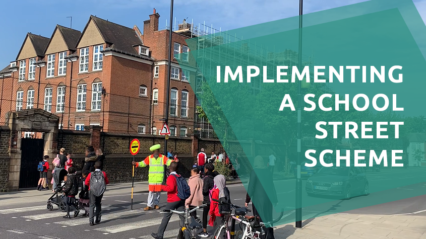
What is a school street?
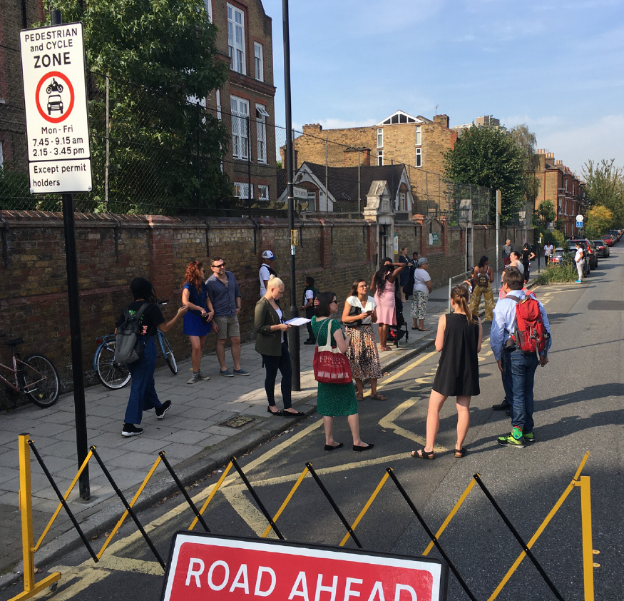
A school street scheme involves a road, or section of road, that becomes closed to vehicular traffic during school drop-off and pick-up times and where a pedestrian and cycle only zone is created in front of the school.
It is a timed road closure, not a temporary or advisory restriction, like a Play Street or a one-off special event. It is also not a ‘car-free-zone’ as it does not ban driving to school, rather it encourages parents to either use sustainable transportation for their school run or park their vehicle away from the school gate and walk the final section of their journey.
The cost of a School Street can be between £5k – £50k depending on various factors, such as if there is an existing programme or not, the method of enforcement, etc. So, considering this investment, it is important to make sure the implementation is done right.
Why consider a school street scheme?
Existing school street schemes and the lessons learned from them indicate that they can help:
- Tackle congestion and reduce the volume of motor vehicle traffic using roads in front of school gates, improving safety.
- Improve air quality outside of school gates, reducing associated risk such as childhood lung conditions.
- Increase the number of children using active travel modes, such as walking and cycling, to get to school by making it easier and safer, improving physical health.
School street schemes in the UK
Local authorities are responsible for school street implementations, as councils in the UK have powers under the Road Traffic Regulation Act 1984 (s1 and s6-9) to regulate traffic and restrict access to avoid danger to people or other traffic using the road.
A traffic management order is applied to the street around the school, temporarily restricting vehicular access during specified hours, where only pedestrians and cycles are permitted.
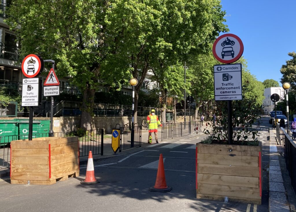
The street closure can be as simple as appropriate access restriction signage, but some schemes and schools may wish to implement road modal filters such as bollards or cones, or use ‘lollypop’ staff to control oncoming traffic.
Blue badge holders, rescue vehicles, police cars and ambulances are still allowed to drive into and through a school street during the scheme times. Residents who live and work in a school street may also be able to register free of charge for an exemption.
Implementing a school street
It’s important to run a thorough assessment and understand factors of the area to find suitable locations. Considerations include:
- Where road safety data shows a higher number of road casualties within 100m of school gate over the last 5 years, which could provide clear evidence of an existing road safety problem.
- Where there is evidence of high air pollution levels outside of schools.
- Traffic sensitive routes, major roads, or bus routes – closing these roads, which can carry very high volumes of traffic, may have a considerable impact on the surrounding road network, especially if there are no suitable diversion opportunities.
It’s also imperative to assess the perimeters of the school, and also consider:
- Displacement of through traffic – the likely impact of diverting motor vehicle traffic around the school street zone onto surrounding streets.
- Displacement of school traffic – impact on periphery streets around the school street zone.
- Ability to absorb possible displaced parking in the surrounding area.
Collecting baseline data, monitoring and evaluation is key to success
Prior to scheme implementation
Even before school street schemes begins, evaluation at the development stage is critical. Baseline surveys should be undertaken.
This is to assess current modes of travel and traffic counts – data on the volume, type, and speed of vehicles in and around the proposed scheme. Full 24hr period over a week allows comparisons to be drawn between weekdays and weekends, showing the likely impact of the school run traffic. If data is gathered in segments of 15-minute or less, it is also possible to compare the vehicle numbers during the School Street operating times with periods before and after to confirm level of compliance with the closure.
- Vehicle classification data – vehicle count broken down by type e.g. cars, motor bike, cyclists, pedestrians, etc. to show what type and level of modes are using the area.
- Vehicle behaviour and paths – this can show if there is incursion into keep clear zones, parking in unauthorised places, if the road being used as a rat-run from the main roads, etc.
- Speed data – this can provide data showing the number of vehicles exceeding the speed limit and creating a danger to vulnerable road users.
- Air quality – collecting and analysing baseline data regarding air quality to calculate the difference in emissions of air pollution before and after scheme implementation.
Monitoring and Evaluation
Monitoring and evaluating the scheme is one of the most important steps in the school streets process. Post implementation monitoring should begin as soon as possible following the implementation of a scheme. Data should continue to be collected throughout the existence of the scheme – even after the scheme has been made permanent.
Post-implementation data should be gathered using as many of the same forms and methods and over the same time periods (as this will help with minimising the impact of factors like weather conditions) in the pre-implementation data to enable direct before-and-after comparisons and to be able to measure progress in regards to the scheme’s aims.
Monitoring data can support evidence that emergency vehicle access, deliveries, etc. are also possible within the zone.
Traffic monitoring with total data privacy
To ensure that a school street scheme evaluation before, during, and after implementation is successful, it needs detailed and accurate data. VivaCity offers a unique solution using artificial intelligence-powered sensors installed in strategic locations on the road that capture anonymous, real-time and continuous traffic pattern data of road users.
- Traffic counts and classifications, including pedestrians, cars, taxis, trucks, cyclists and more.
- Vehicle Path across the road space to understand how different vehicles interact and to assess junction turning counts.
- Median Journey Time of road users with number plates between any two sensors within the network.
- Speed to capture travel behaviour and identify queue formation.
The information is turned into anonymous data – preserving all road users’ privacy – and is accessible through a cloud-based dashboard.
With accurate and detailed data, some of the school street scheme questions our sensors can answer include:
- Are people commuting by vehicles decreasing?
- Does it reduce traffic congestion? Are they causing gridlocks or congestion in periphery areas?
- Is it encouraging more cycling and walking?
- Has it reduced vehicle speeds?
- Are there fewer idling cars, helping result in less pollution?
- Are vehicles exceeding the speed limit, which can create a danger to vulnerable road users?
Examples of councils implementing school streets using VivaCity Sensors
Our solution is being used by a growing number of local authorities to objectively monitor and evaluate school street schemes and other programmes in need of accurate traffic data, including active travel, low traffic neighbourhoods, clean air initiatives and more.
- Cross River Partnership joined forces with London Borough of Hackney to monitor a school street by St Scholastica’s Primary School in Clapton – the results were reassuring, showing a rise in active travel by children and parents travelling to school.
If you would like to find out more about how our artificial intelligence-powered sensors can help your current school street and other schemes, please get in touch with our team.
Other useful resources related to school streets schemes
- New studies show School Streets improve air quality – London.gov.uk
- An in-depth scheme implementation by the London Borough of Croydon
- School Streets Org Resources, with an angle from the community’s point of view. There is a comprehensive list of resources under the ‘resources’ menu
- An updated School Streets Schemes map via the Schoolstreets.org website
- An article by TransportXtra.com on how Hackney Council shares the statistics and learnings from their school streets scheme and other programmes
Like our content? Sign up to our newsletter and receive the latest updates in your inbox.
Sign-Up