- Viva sensors are gathering data on the impact of Liveable Neighbourhoods initiatives in South Chiswick
- Monitored interventions include modal filters and the introduction of a one-way street
- Pre and post-implementation datasets, including classified counts, path, speed and origin-destination, provide an evidence base for the scheme to stakeholders
In 2019 the London Borough of Hounslow was awarded funding from the Mayor of London’s Liveable Neighbourhoods programme for the South Chiswick area. Forming part of the area’s Liveable Neighbourhoods scheme is Hounslow’s Streetspace project. Developed in response to the Covid-19 pandemic, the aim of the project is to create safer spaces for active travel, reduce congestion and air pollution, and prevent rat-running along residential streets.
Gathering baseline data
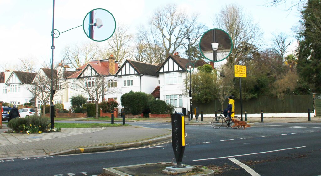
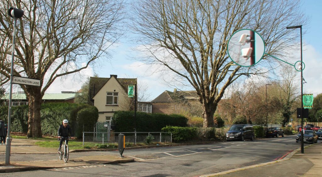
In early December 2021, seven Viva sensors were installed in strategic locations to gather baseline multi-modal road use data prior to the introduction of two new interventions: a one way system along Burlington Lane and the extension of School Street operating hours on Staveley Road.
Prior to installation of the sensors, in September 2021 a diagonal modal filter was put in place across the Park Road and Staveley Road junction – a popular rat-running route – only permitting cyclists and pedestrians to pass through. Initially introduced as a trial, the filter will be made permanent in March.
Whilst baseline data wasn’t recorded for the modal filter specifically, the sensor network as a whole provides the council with data sets that demonstrate how the shape of travel and overall modal split has changed as a result of the most recent LTN interventions.
Long-term data insights ongoing
Armed with pre-scheme monitoring data, Hounslow implemented the two new interventions in late January 2022. The sensors will continue to provide data until mid 2022 in order to provide a comprehensive understanding of the inventions’ impact.
One-way street, Burlington Lane
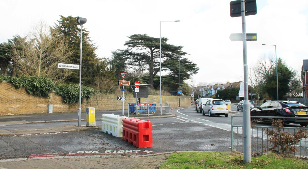
A ‘no-entry’ restriction from the A316 into Burlington Lane, with the exception of cyclists. All road users will still be able to exit Burlington Lane at the junction.
Since the restriction, the number of cars passing through Burlington Lane has dropped substantially. Comparing three weeks before and after the changes were made, shows that the average daily number of cars dropped from 1,525 to 1,031, a 32% decrease.
Where people cycle is almost unchanged from before and after the ‘no entry’ restriction: The majority of cyclists (92%) use the road, while 5% are cycling on the right pavement and 3% on the left. However, there were 26% more cyclists entering Burlington Lane after the changes compared to before.
Timed access restrictions, Staveley Road
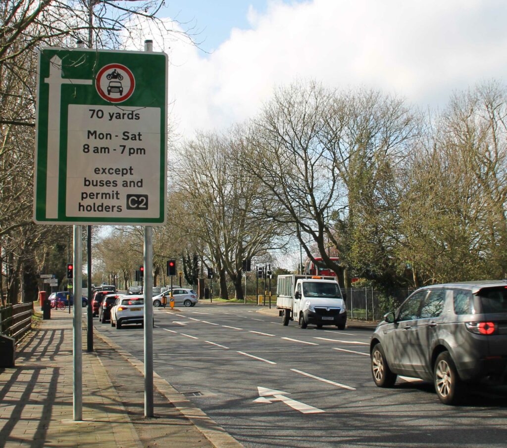
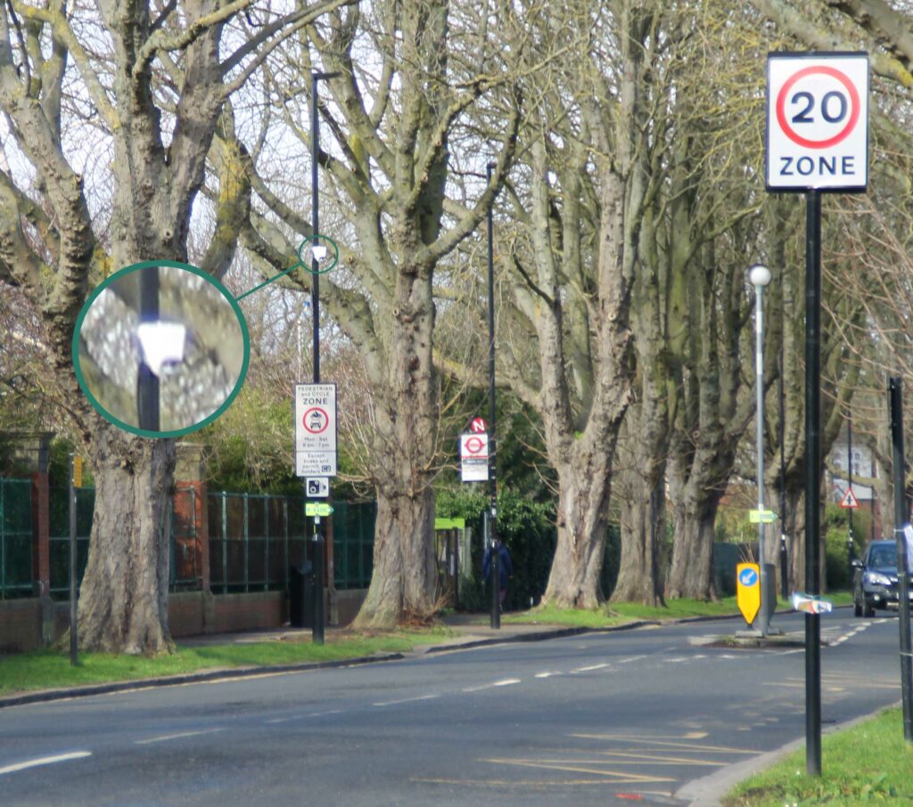
Restricted access on Staveley Road, 8am - 7pm, Monday - Saturday, replacing School Street restrictions.
Overall there has not been a big change in motorised traffic volumes after extending restrictions, with the number of cars only dropping by 1%.
However, hourly count data shows a reduction in car volumes during the restricted hours.
Impact on active transportation across the sensor network
Almost all sensor locations have recorded an increase in the proportion of active transportation modes (cyclists and pedestrians) of all road users. The biggest change was observed for Burlington Lane (S6 + S7) following the ‘no-entry’ restriction. Active transportation modes made up 29% of road users before the changes, but increased to 39% after.
Jefferson Nwokeoma, Assistant Director of Traffic & Transport at London Borough of Hounslow, commented:
Viva data insights is a step change in our approach to implementing low traffic and liveable neighbourhoods schemes in the borough. The data collated will enable us to establish a benchmark and objectively assess whether our traffic measures are achieving our traffic and active transportation objectives. This is critical to ensuring that we continue to make informed decisions on our experimental traffic schemes.
The importance of data-led insights for successful LTN schemes
Baseline and post-implementation data insights will enable London Borough of Hounslow to understand how these interventions are performing and if objectives are being achieved. Whilst the aim of LTNs is to improve the quality of life for communities, they can often prove controversial. Data-led insights will demonstrate the effectiveness of the interventions and how travel habits of residents in the immediate area have been impacted. These performance insights are an essential tool for councils when it comes to communicating LTNs impact accurately and objectively.
It is important to note that other factors might have impacted on the traffic volumes recorded before and after the intervention. For example, the period before the road changes includes the New Year’s Day bank holiday as well as the lifting of Plan B Covid-19 measures on 20th of January. It is likely that volumes during these times were lower than under ‘normal’ circumstances. Ongoing monitoring is key to understanding the impact of these measures in the long term. We’ll continue to work with Hounslow to help them get the most out of their data and continuously build on these insights.
Discover how computer vision sensors can help accurately monitor Active Transportation schemes
DOWNLOAD OUR BROCHURE NOW
Like our content? Sign up to our newsletter and receive the latest updates in your inbox.
Sign-Up